Leaving the village of Carnlough behind, we drove to the Carrick-A-Rede Rope Bridge.Â
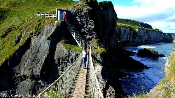
The stop at Carrick-A-Rede was our introduction to the dramatic coastal line of northern and western Ireland. Â Combine the many shades of green of the countryside with the spectacular cliffs and ocean views, you have unsurpassed beauty. Â The rope bridge itself is a sturdy affair and not much to write home about unless you suffer as I do from acrophobia. Â So, needless to say, i hurried across the bridge without stopping to take pictures. Â Here is less timid Gina coming across the bridge.
Â
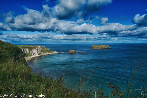
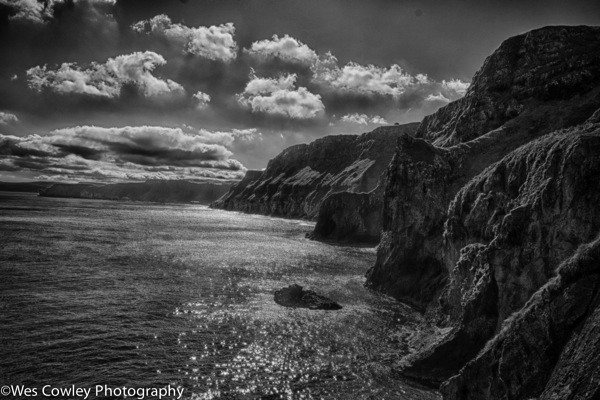
A couple of views of the coast line of Carrick-A-Rde:
Â
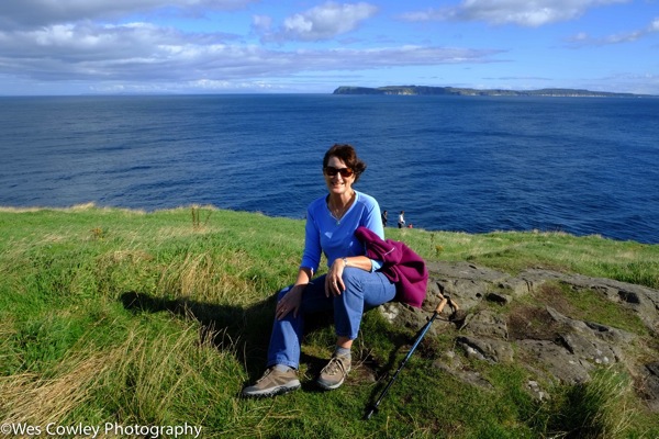
Gina taking a break after the harrowing trip across the rope bridge.
Â
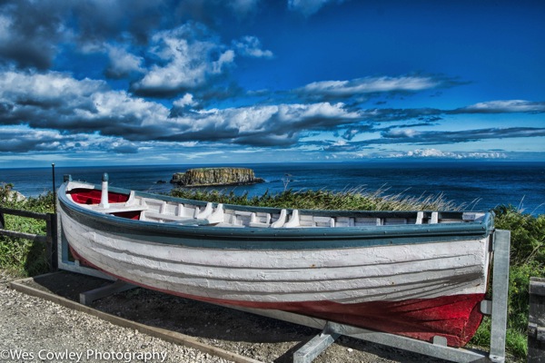
A boat sitting on the path to the rope bridge. Â It was probably used to recover the bodies of people who fell from the rope bridge. Â You think?
Â
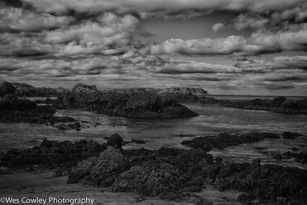
After leaving Carrick-A-Rede, we stopped for a few minutes at the pretty little Ballintoy Harbor nearby. Â http://www.ports.org.uk/port.asp?id=332
The beach was recently used for filming of an episode of the Game of Thrones.
 http://www.belfasttelegraph.co.uk/entertainment/film-tv/news/gory-game-of-thrones-scene-filmed-at-wellknown-beauty-spot-ballintoy-beach-29653592.html

Â
Reluctantly leaving the harbor at Ballintoy, we were faced with a decision. Â There was a stop scheduled at the Bushmills Distillery. Â Those discerning folks among us who didn’t particularly want to do the distillery tour were offered a surprise by Sean. Â Having been to the finest distillery in the world, in one of the prettiest sports in the world, The Makers Mark Distillery in Loretto, Kentucky, USA, we chose to see what Sean had up his sleeve. Â We dropped the less discerning at the distillery, and Sean took us to the Dark Hedges. Â The beech trees creating a canopy over the lane were planted by the Stuart family in the eighteenth century as a dramatic entry to their home. Â It is one of the most photographed sites in Northern Ireland, and was used for a scene in the Game of Thrones series. Â http://www.visitballymoney.com/the-dark-hedges.aspxÂ
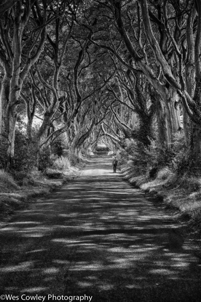
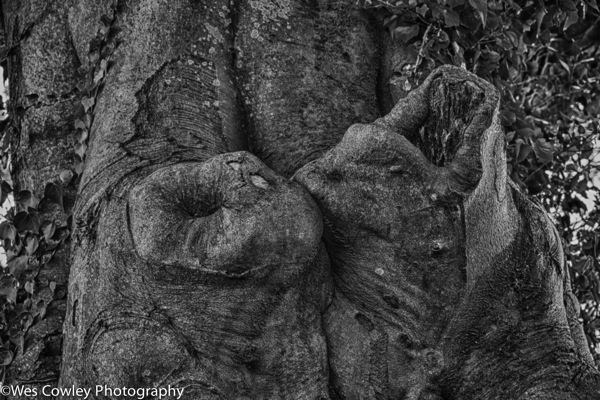
The figure in the scene above may be the Grey Lady gliding along the lane. Or maybe not. Â Interesting structure on a beech tree below pointed out by Kathy, fellow Vagabonder from Oregon. Â
 (
Kathy also introduced me to the word soughing (pronounced suffing), which was quite appropriate in the location.  Look it up.  Oh, ok …..  defined as “a soft murmuring or rustling sound, as of the wind or a gentle surf.”
We picked up the group dropped at the Bushmills Distillery, and spent the rest of the trip having Rick worrying about the 200 year old whiskey he bought. Â Well, maybe not two hundred years old, but apparently a pretty special brew. Â Luckily, nobody drank it, so I guess Rick got home with it. Â Then, on to the Giant’s Causeway. Â We first drove by the spot where Sean would meet us, then he drove out to a spot for us to start a scenic walk along the cliffs. Â Maybe five kilometers, Sean says. Â Right. Â
What a spectacular walk, though. Walking along the edge of the cliffs from Dunseverick where he dropped us to the Giant’s Causeway took a solid 2 1/2 hours, up and down, but worth every step. Â
Dunseverick was the site of a castle probably originally constructed around 1525 BC and finally destroyed by the Normans in the 17th century.  http://www.castles.nl/eur/ie/ds/ds.html  http://www.coasteeringni.co.uk/coasteering/venues/dunseverick/
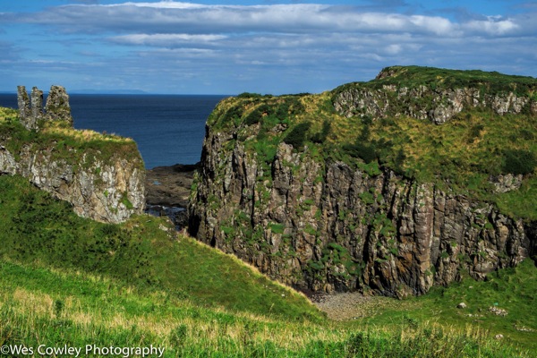
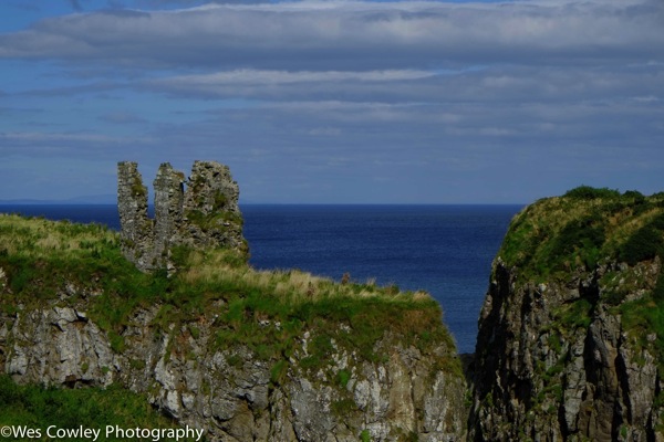
Following are some shots taken along the way. Â I could post a lot more, but with our modern short attention spans, these should suffice. Â A little background, scientists claim that the Giant’s Causeway is the result of geological forces, volcanic upheavals. Â We know better. Â http://www.causewaycoastandglens.com/Folklore-and-Legend.T1153.aspx. Â Finn McCool is the reason for this tourist attraction. Â When we reached the Causeway it was covered up with those despicable types of people sometimes known as tourists, so not much photography there.
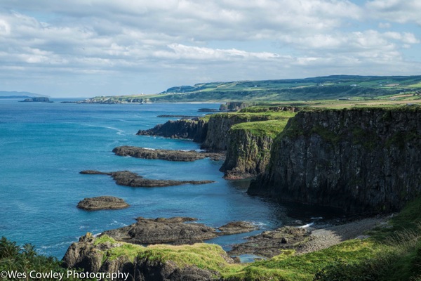
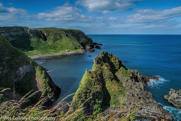
Â
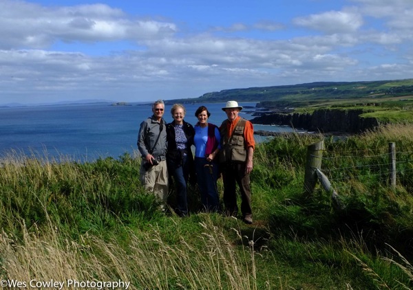
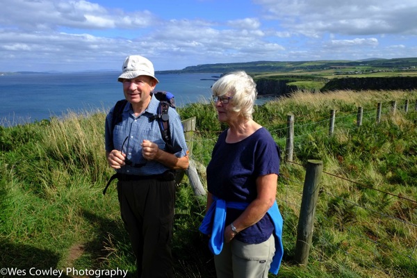
The couple on the left are Doug and Kathy Collins from Oregon. Â The picture was taken by an Irish couple who stopped to talk with us, the photo below, Brenda and Michael.
Â
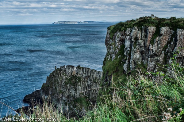
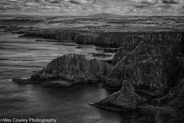
A little artistic look at one of the scenes along the walk. Â For the more discerning among us. Â That is Rathlin Island in the distance, I believe.
Â
Rugged landscape.
Â
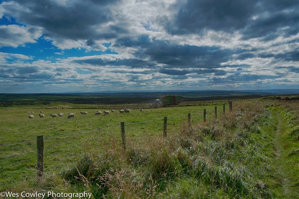
A look away from the water.  Notice the sheep in the picture.  This was a rarity, to see sheep in a field.  Actually, they were all over the place.  More sheep the Irish one might imagine.  To be precise,  there are almost 2 million sheep in Northern Ireland.  http://www.dardni.gov.uk/sheep-2012.pdf  Although we were not there as of yet, we would also see evidence of sheep farming in the Republic of Ireland. There are almost 3.5 million sheep in the Republic.  http://www.agriculture.gov.ie/media/migration/animalhealthwelfare/animalidentificationandmovement/NationalSheepGoatCensus2011100512.pdfÂ
No wonder lamb stew is so popular.
Â
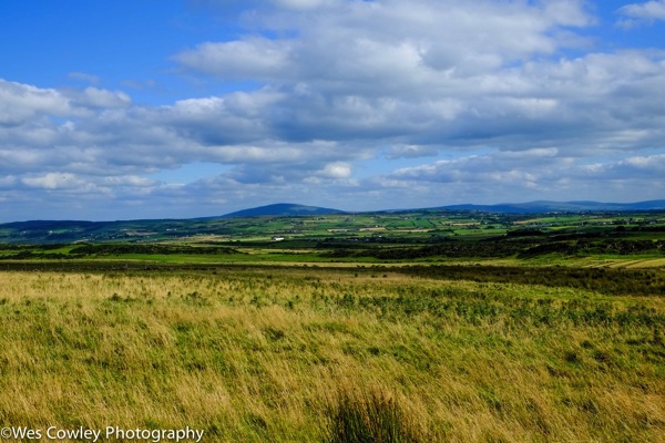
Another view away from the water.
Â
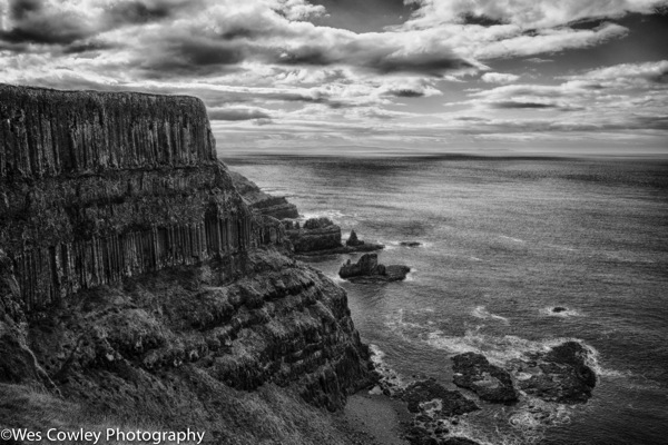
More rugged coastal terrain.
Â
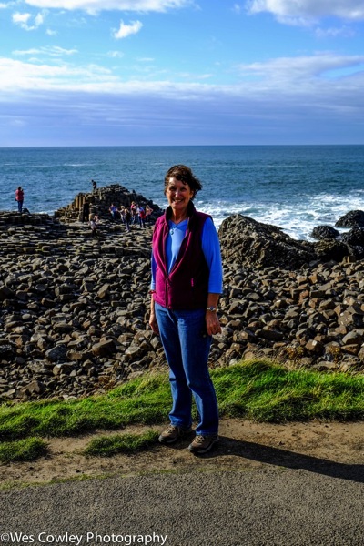
Reaching the end of the trail so to speak, Gina still looked pretty good after a good 2.5 hour stroll up and down the hills.
Â
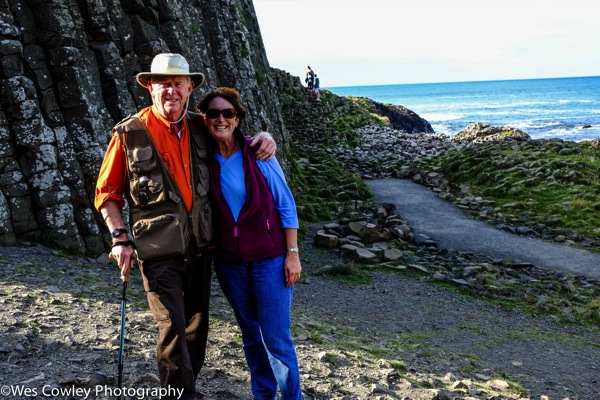
And this could well be called “The Beauty and The Beast.”
Â
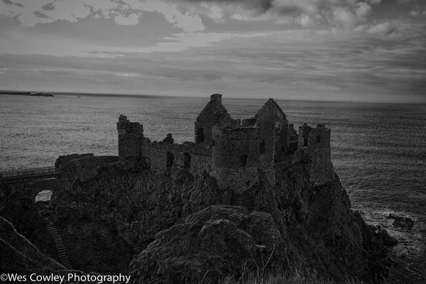
Our next stop was the Dunluce Castle, I believe the only remaining coastal castle after the Normans cleared out the coastline in the 17th Century. Â Here is a short history of the castle:
http://www.northantrim.com/dunlucehistory1.htmÂ
Â
After a brief stop at the castle, we went on to Port Stewart and a night at the Strand Hill. Â One of the nicest of our many nice accommodations. Â More coming.
Â
